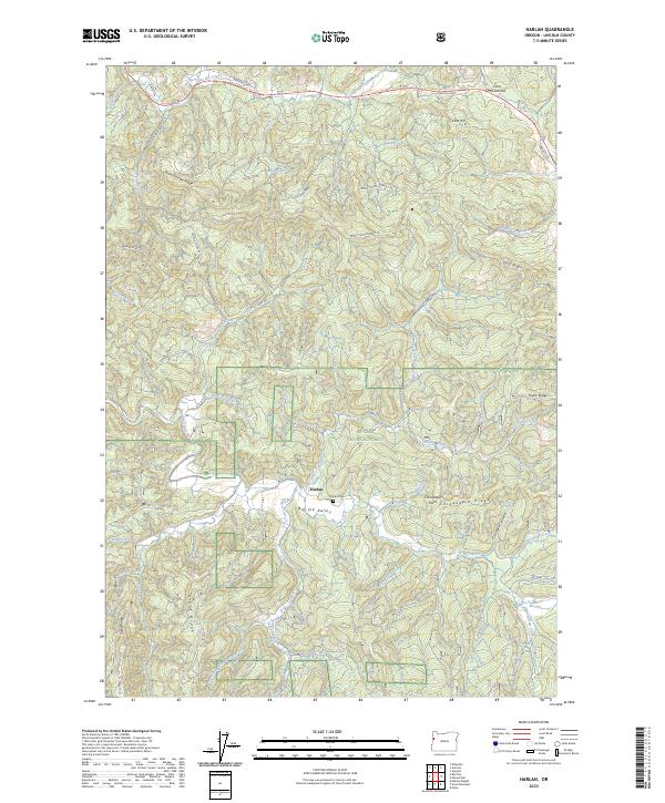
2023 Map of Harlan
USGS Topo · Published 2023About this map
Harlan lies at the heart of Big Elk Valley, a pocket of settlement within the expansive Siuslaw National Forest. This modern survey reveals a landscape where the valley floor provides a rare flat opening amidst a complex of ridges, including Strom Boulder Ridge, Goat Ridge, and Chinquapin Ridge. The local history of the area is centered on the Harlan Cem and the surrounding timberlands, accessed by a network of forest roads such as Burnt Woods Harlan Rd and Wolf Cabin Rd. Water dominates the drainage patterns here, with Big Elk Creek and Little Elk Creek carving through the terrain. To the north, Cline Hill and Cline Hill Summit mark the high ground near the winding Wakefield Rd, illustrating the challenges of navigating this timber-rich portion of Lincoln County.
Find a feature on this map
56 named features on this map. Tap any name to fly to it.
Don’t see what you’re looking for? This feature index may not catch every label — zoom into the map to look around manually.
Map Details
Editions of this 2023 Harlan Map
This is the sole edition of this map. No revisions or reprints were ever made.
Other maps of this area

1939 · Marys Peak
USGS Topo · 1:62,500

1942 · Marys Peak
USGS Topo · 1:62,500

1942 · Alsea
USGS Topo · 1:62,500

1942 · Tidewater
USGS Topo · 1:62,500

1942 · Toledo
USGS Topo · 1:62,500

1953 · Salem
USGS Topo · 1:250,000

1954 · Salem
USGS Topo · 1:250,000

1956 · Alsea
USGS Topo · 1:62,500

1956 · Tidewater
USGS Topo · 1:62,500

1957 · Marys Peak
USGS Topo · 1:62,500