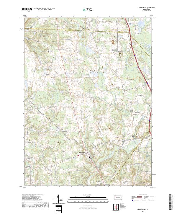
2023 Map of Harlansburg
USGS Topo · Published 2023About this map
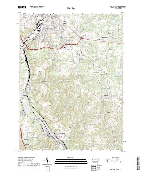
Slippery Rock Creek winds through this rural landscape of northwestern Pennsylvania, where the borders of Mercer, Lawrence, and Butler counties converge. This 2023 survey illustrates the enduring settlement patterns of small communities like Harlansburg and Plain Grove, which remain anchored by historic institutions. Genealogical interest is particularly high here, as the map documents several burial grounds including South Plain Grove Cem and Stevenson Cem. The topography is defined by several waterways, notably Jamison Run and Taylor Run, which feed into the primary creek valley. Local transportation is centered on arterial routes such as Harlansburg Rd and New Castle Rd, connecting older hamlets like Elliotts Mills and Rockville to the surrounding agricultural and wooded countryside.
Find a feature on this map
40 named features on this map. Tap any name to fly to it.
Don’t see what you’re looking for? This feature index may not catch every label — zoom into the map to look around manually.
Map Details
Editions of this 2023 Harlansburg Map
This is the sole edition of this map. No revisions or reprints were ever made.
Historical Maps of Slippery Rock Township Through Time
10 maps found

1905 Neshannock
Lawrence County, PA
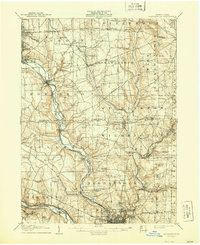
1907 Neshannock
Lawrence County, PA
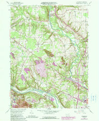
1958 Edinburg
Lawrence County, PA
1958 New Castle North
Lawrence County, PA
1958 New Castle South
Lawrence County, PA
1961 Harlansburg
Lawrence County, PA
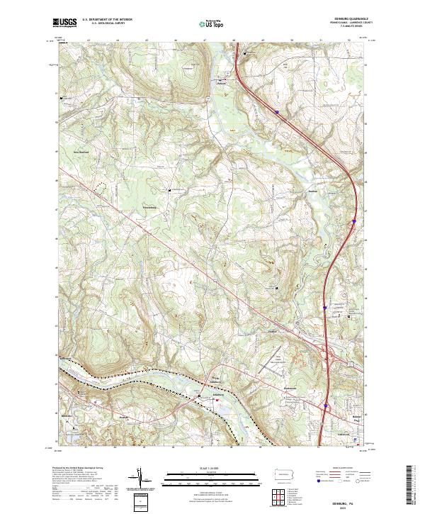
2023 Edinburg
Lawrence County, PA
2023 Harlansburg
Lawrence County, PA
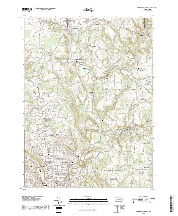
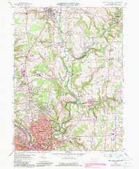
2023 New Castle North
Lawrence County, PA
2023 New Castle South
Lawrence County, PA
Featured Locations
- Slippery Rock Township, PA
- Plain Grove Township, PA
- Liberty Township, PA
- Springfield Township, PA
- Brent, Plain Grove Township