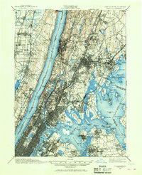
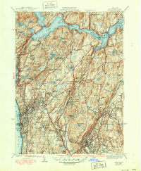
1897 Map of Harlem
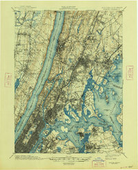
USGS Topo · Published 1967About this map
Yonkers and the northern reaches of New York City define this dense urban and industrial landscape at the close of the 19th century. The map highlights the sophisticated transport infrastructure of the era, from the winding path of the New York Central & Hudson River R.R. to the local Electric R.R. networks. Significant civic landmarks like Grants Tomb and Fort Schuyler anchor the waterfronts of the Hudson River and Long Island Sound.
Find a feature on this map
167 named features on this map. Tap any name to fly to it.
Don’t see what you’re looking for? This feature index may not catch every label — zoom into the map to look around manually.
Map Details
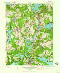
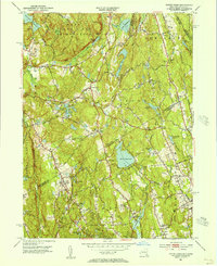
Editions of this 1897 Harlem Map
4 editions found

Historical Maps of New York Through Time
41 maps found
1897 Harlem
Westchester County, NY

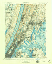
1898 Harlem
Westchester County, NY
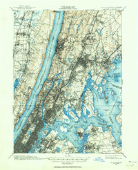
1900 Harlem
Westchester County, NY

1936 Ossining
Westchester County, NY
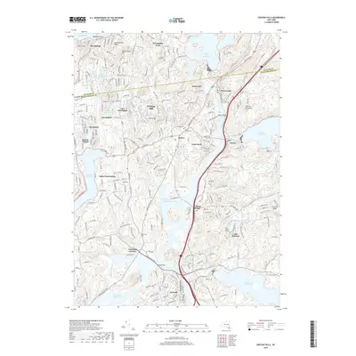
1943 Ossining
Westchester County, NY
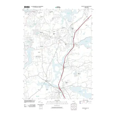
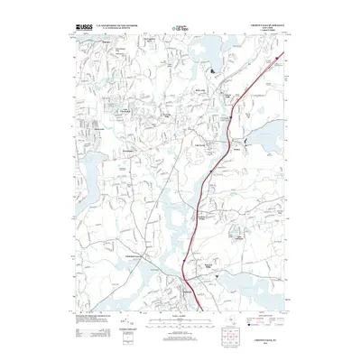
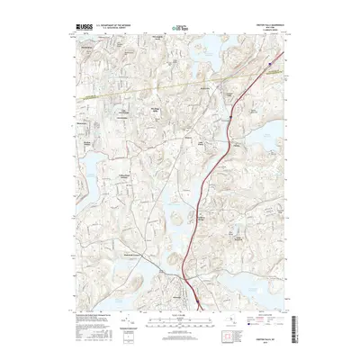
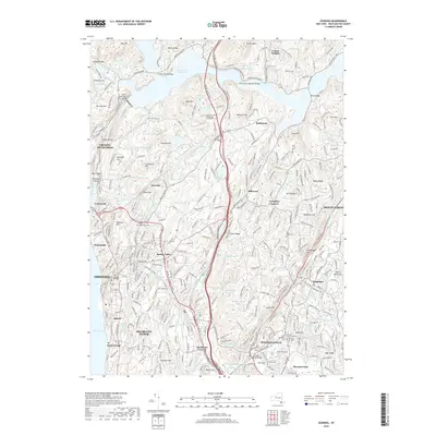
1944 Croton Falls
Westchester County, NY

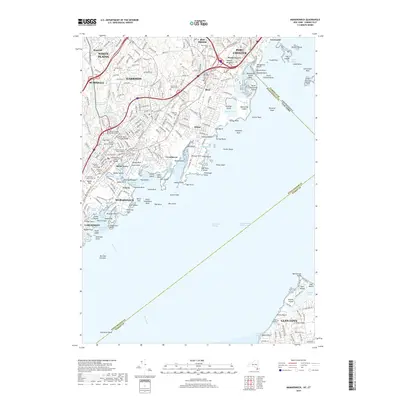
1947 Mamaroneck
Westchester County, NY

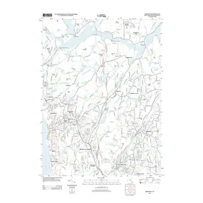
1947 Mt Vernon
Westchester County, NY

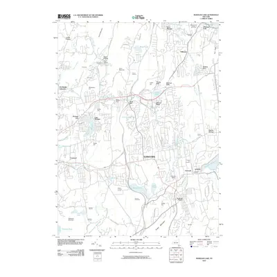
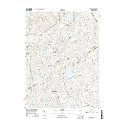
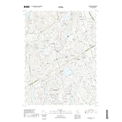
1947 Pound Ridge
Westchester County, NY
1951 Pound Ridge
Westchester County, NY
1955 Mamaroneck
Westchester County, NY
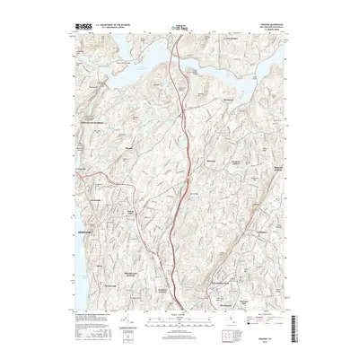
1955 Ossining
Westchester County, NY
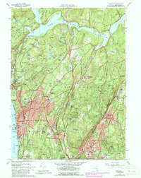
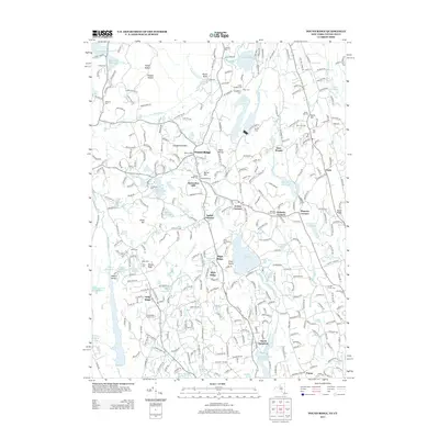
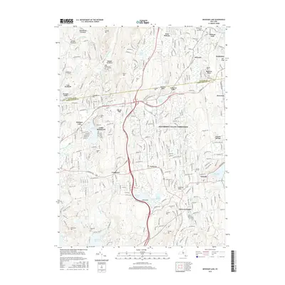
1956 Mohegan Lake
Westchester County, NY
1960 Croton Falls
Westchester County, NY
1960 Pound Ridge
Westchester County, NY
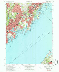
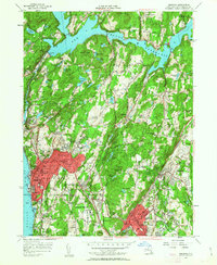
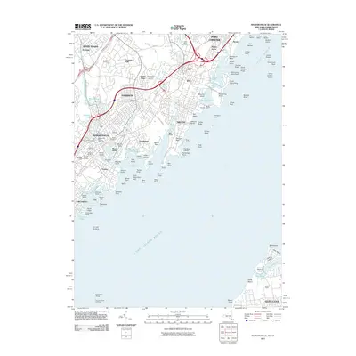
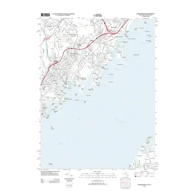
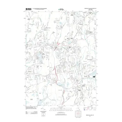
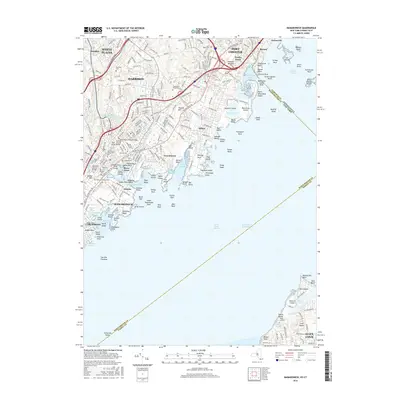
1967 Mamaroneck
Westchester County, NY
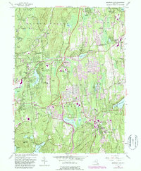
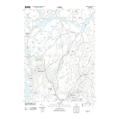
1967 Ossining
Westchester County, NY
2010 Croton Falls
Westchester County, NY
2010 Mohegan Lake
Westchester County, NY
2010 Ossining
Westchester County, NY
2011 Mamaroneck
Westchester County, NY
2013 Croton Falls
Westchester County, NY
2013 Mamaroneck
Westchester County, NY
2013 Mohegan Lake
Westchester County, NY
2013 Ossining
Westchester County, NY
2013 Pound Ridge
Westchester County, NY
2016 Croton Falls
Westchester County, NY
2016 Mamaroneck
Westchester County, NY
2016 Mohegan Lake
Westchester County, NY
2016 Ossining
Westchester County, NY
2016 Pound Ridge
Westchester County, NY
2019 Croton Falls
Westchester County, NY
2019 Mamaroneck
Westchester County, NY
2019 Mohegan Lake
Westchester County, NY
2019 Ossining
Westchester County, NY
2019 Pound Ridge
Westchester County, NY

2023 Croton Falls
Westchester County, NY

2023 Mamaroneck
Westchester County, NY

2023 Mohegan Lake
Westchester County, NY

2023 Ossining
Westchester County, NY

2023 Pound Ridge
Westchester County, NY