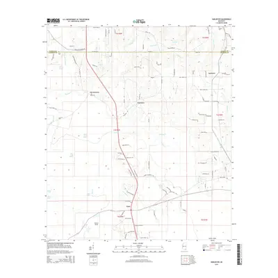
2015 Map of Harleston
USGS Topo · Published 2015About this map
Old Americus and Popetown sit within a landscape defined by the winding tributaries of the Black Creek basin. The area is characterized by a low-lying network of swampy drainages and sloughs, including Black Creek Slough, Camp Ground Slough, and John Goff Slough, which weave between the small communities of Wade and Harleston. Family names are deeply etched into the geography through numerous rural cemeteries such as Steede Cem, Oak Grove Cem, and Bethany Cem, alongside dozens of named roads like Coyt Brooks Rd and Jodie Baxter Rd. The presence of Parkers Island and lakes like Sally Lake and Wilson Lake highlights the importance of the local waterway system in Jackson County. This survey provides a clear view of the rural infrastructure and land divisions between Township 3 South and Township 5 South during the early 21st century.
Find a feature on this map
99 named features on this map. Tap any name to fly to it.
Don’t see what you’re looking for? This feature index may not catch every label — zoom into the map to look around manually.
Map Details
Editions of this 2015 Harleston Map
This is the sole edition of this map. No revisions or reprints were ever made.
Other maps of this area

1941 · Hurley
USGS Topo · 1:62,500

1941 · Vancleave
USGS Topo · 1:62,500

1941 · Lucedale
USGS Topo · 1:62,500

1942 · Wilmer
USGS Topo · 1:62,500

1943 · Lucedale
USGS Topo · 1:62,500

1943 · Hurley
USGS Topo · 1:62,500

1943 · Vancleave
USGS Topo · 1:62,500

1944 · Wilmer
USGS Topo · 1:62,500

1944 · Vancleave
USGS Topo · 1:62,500

1953 · Mobile
USGS Topo · 1:250,000