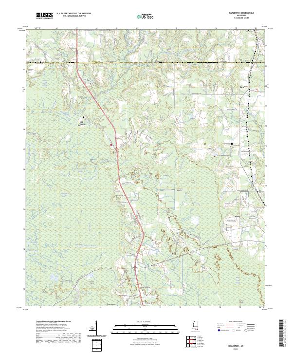
2024 Map of Harleston
USGS Topo · Published 2024About this map
The Black Creek river system winds through the borderlands of George and Jackson Counties, creating a complex wetland environment of sloughs and islands. This modern landscape is defined by the heavy presence of Black Creek Slough, John Goff Slough, and Camp Ground Slough, which frame the low-lying terrain around Straw Island and Parkers Island. The settlement pattern reflects a deeply rooted local history, anchored by small rural centers such as Hurley, Wade, and Harleston.
Find a feature on this map
106 named features on this map. Tap any name to fly to it.
Don’t see what you’re looking for? This feature index may not catch every label — zoom into the map to look around manually.
Map Details
Editions of this 2024 Harleston Map
This is the sole edition of this map. No revisions or reprints were ever made.
Other maps of this area

1941 · Hurley
USGS Topo · 1:62,500

1941 · Vancleave
USGS Topo · 1:62,500

1941 · Lucedale
USGS Topo · 1:62,500

1942 · Wilmer
USGS Topo · 1:62,500

1943 · Lucedale
USGS Topo · 1:62,500

1943 · Hurley
USGS Topo · 1:62,500

1943 · Vancleave
USGS Topo · 1:62,500

1944 · Wilmer
USGS Topo · 1:62,500

1944 · Vancleave
USGS Topo · 1:62,500

1953 · Mobile
USGS Topo · 1:250,000