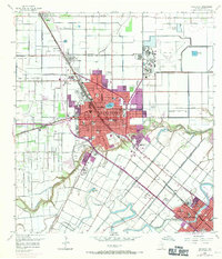
1956 Map of Harlingen
USGS Topo · Published 1971About this map
Harlingen and San Benito appear as growing urban hubs along the winding course of the Arroyo Colorado during this mid-century period. The landscape is defined by an intricate network of irrigation canals and reservoirs, such as the Beckham Reservoir and Cullen-Thompson Reservoir, which support the region's agricultural character. This 1956 survey, updated with 1970 revisions, documents a heavy concentration of civic infrastructure, including over a dozen educational institutions like Zavala Sch and Bowie Sch. The map reveals the critical role of specialized healthcare in the area, prominently featuring the State Tuberculosis Hospital and Valley Baptist Hospital. Transportation is centered on the diagonal corridor of the Missouri Pacific railroad, which bisects the residential grids. Significant natural drainage features like Resaca de los Fresnos and Horseshoe Lake punctuate the flat coastal plain, illustrating the complex hydrology of the Lower Rio Grande Valley.
Find a feature on this map
48 named features on this map. Tap any name to fly to it.
Don’t see what you’re looking for? This feature index may not catch every label — zoom into the map to look around manually.
Map Details
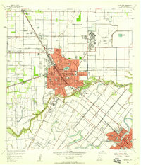
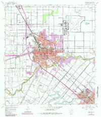
Editions of this 1956 Harlingen Map
3 editions found
Other maps of this area

1929 · Rio Hondo
USGS Topo · 1:24,000

1929 · Harlingen
USGS Topo · 1:24,000

1929 · Santa Rosa
USGS Topo · 1:24,000

1929 · Santa Maria
USGS Topo · 1:24,000

1929 · La Feria
USGS Topo · 1:24,000

1929 · La Paloma
USGS Topo · 1:24,000

1930 · Barreda
USGS Topo · 1:24,000

1932 · Combes
USGS Topo · 1:31,680

1932 · Rio Hondo
USGS Topo · 1:31,680

1932 · Harlingen
USGS Topo · 1:31,680