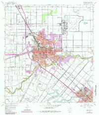
1956 Map of Harlingen
USGS Topo · Published 1984About this map
Arroyo Colorado carves a deep path through the landscape of the Lower Rio Grande Valley, defining the southern edges of Harlingen and the approach to San Benito. This mid-century survey documents a region undergoing significant urban expansion, where the grid of the Industrial Airpark and new residential developments like Avondale meet the older agricultural irrigation infrastructure. The landscape is dotted with essential civic institutions, including the Valley Baptist Hospital and the State Tuberculosis Hospital, reflecting the city's role as a regional healthcare center.
Find a feature on this map
44 named features on this map. Tap any name to fly to it.
Don’t see what you’re looking for? This feature index may not catch every label — zoom into the map to look around manually.
Map Details
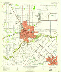
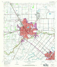
Editions of this 1956 Harlingen Map
3 editions found
Other maps of this area

1929 · Rio Hondo
USGS Topo · 1:24,000

1929 · Harlingen
USGS Topo · 1:24,000

1929 · Santa Rosa
USGS Topo · 1:24,000

1929 · Santa Maria
USGS Topo · 1:24,000

1929 · La Feria
USGS Topo · 1:24,000

1929 · La Paloma
USGS Topo · 1:24,000

1930 · Barreda
USGS Topo · 1:24,000

1932 · Combes
USGS Topo · 1:31,680

1932 · Rio Hondo
USGS Topo · 1:31,680

1932 · Harlingen
USGS Topo · 1:31,680