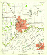
1956 Map of Harlingen
USGS Topo · Published 1959About this map
Harlingen serves as the bustling urban center of the Rio Grande Valley in the mid-1950s, defined by its complex irrigation network and strategic military presence. The sprawling Harlingen Air Force Base occupies a massive footprint in the northeast, while the city's growth is tied to the path of the Missouri Pacific and Texas and New Orleans (SP) railroads. The natural landscape is dominated by the winding course of the Arroyo Colorado, which meanders south of the city center near Ramsey Park and the Valley Baptist Hospital. Numerous local schools such as Zavala Sch, Austin Sch, and St Anthonys Sch anchor the residential grid, reflecting a community in a period of significant post-war expansion. Further south, the map captures the transition toward San Benito and the agricultural reaches of the Valley Boys Ranch.
Find a feature on this map
42 named features on this map. Tap any name to fly to it.
Don’t see what you’re looking for? This feature index may not catch every label — zoom into the map to look around manually.
Map Details
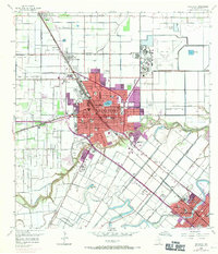
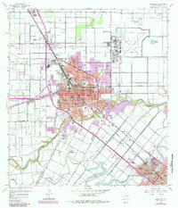
Editions of this 1956 Harlingen Map
3 editions found
Other maps of this area

1929 · Rio Hondo
USGS Topo · 1:24,000

1929 · Harlingen
USGS Topo · 1:24,000

1929 · Santa Rosa
USGS Topo · 1:24,000

1929 · Santa Maria
USGS Topo · 1:24,000

1929 · La Feria
USGS Topo · 1:24,000

1929 · La Paloma
USGS Topo · 1:24,000

1930 · Barreda
USGS Topo · 1:24,000

1932 · Combes
USGS Topo · 1:31,680

1932 · Rio Hondo
USGS Topo · 1:31,680

1932 · Harlingen
USGS Topo · 1:31,680