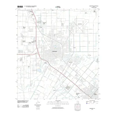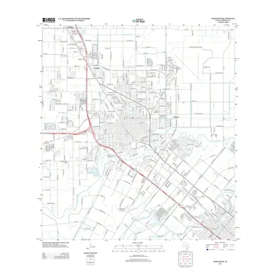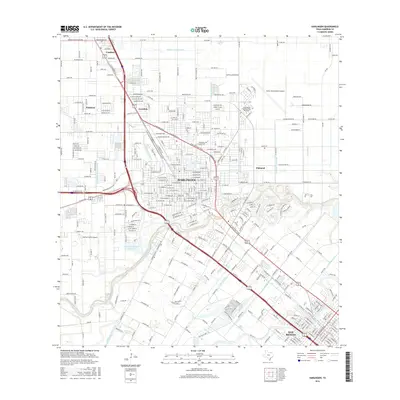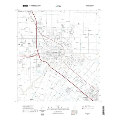
1992 Map of Harlingen
USGS Topo · Published 1992About this map
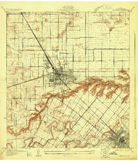
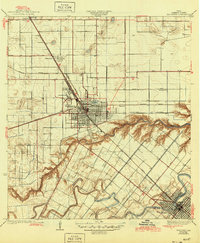
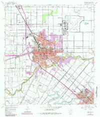
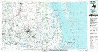
Harlingen serves as the inland hub for this corner of South Texas, where irrigation and flood control networks like the North Floodway and Main Floodway have reshaped the coastal prairie into a productive agricultural and industrial corridor. The landscape is defined by the winding Arroyo Colorado and a dense system of resacas, including Resaca de los Fresnos and Resaca de la Palma, which historically provided vital water for settlements such as San Benito and Los Fresnos. Along the coast, the Laguna Madre separates the mainland from Padre Island, with the Intracoastal Waterway facilitating maritime transit through Port Isabel. This era is marked by the presence of the Willamar Oil Field and extensive wildlife conservation areas including the Laguna Atascosa National Wildlife Refuge, while the southern boundary follows the Rio Grande along the international border with Mexico.
Find a feature on this map
161 named features on this map. Tap any name to fly to it.
Don’t see what you’re looking for? This feature index may not catch every label — zoom into the map to look around manually.
Map Details
Editions of this 1992 Harlingen Map
This is the sole edition of this map. No revisions or reprints were ever made.
Historical Maps of Brownsville Through Time
9 maps found