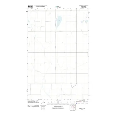
2011 Map of Harlow SE
USGS Topo · Published 2011About this map
Fish Lake sits in the northern reaches of this Benson County landscape, surrounded by an orderly grid of section lines and rural thoroughfares. This 2011 survey by the U.S. Geological Survey illustrates a sparsely populated agricultural region defined by its cardinal-direction road network, including 49th St NE and 52nd Ave NE. The terrain is characterized by subtle drainage patterns and wetlands that break the geometric precision of the farm plots. Navigating this sheet reveals the persistence of the Public Land Survey System, where modern routes like 50th Ave NE and 47th Ave NE continue to follow the historical boundaries established over a century prior.
Find a feature on this map
15 named features on this map. Tap any name to fly to it.
Don’t see what you’re looking for? This feature index may not catch every label — zoom into the map to look around manually.
Map Details
Editions of this 2011 Harlow SE Map
This is the sole edition of this map. No revisions or reprints were ever made.
Other maps of this area

1932 · Flora
USGS Topo · 1:62,500

1943 · Maddock
USGS Topo · 1:62,500

1945 · Maddock
USGS Topo · 1:62,500

1951 · Flora
USGS Topo · 1:24,000

1951 · Maddock
USGS Topo · 1:24,000

1951 · Hesper
USGS Topo · 1:24,000

1951 · Flora
USGS Topo · 1:62,500

1952 · New Rockford
USGS Topo · 1:250,000

1953 · Devils Lake
USGS Topo · 1:250,000

1956 · New Rockford
USGS Topo · 1:250,000