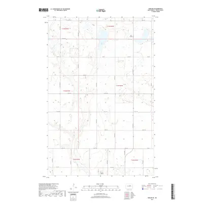
2017 Map of Harlow SE
USGS Topo · Published 2017About this map
Fish Lake and the drainage of the Big Coulee define this section of Benson County, where the landscape is shaped by the glacial remnants typical of the North Dakota prairie. The survey captures a sparsely populated agricultural region organized by a strict sectional grid, with local transit relying on a network of gravel routes like Toso Rd and 45th St NE. A notable hub for local aviation is the Sollie Airport in the southern portion of the quadrangle. The map detail reflects the mid-2010s land use, showing numerous small wetlands and prairie potholes that dot the townships of t154n r69w and t153n r70w, illustrating the intersection of modern infrastructure and the natural hydrology of the Great Plains.
Find a feature on this map
20 named features on this map. Tap any name to fly to it.
Don’t see what you’re looking for? This feature index may not catch every label — zoom into the map to look around manually.
Map Details
Editions of this 2017 Harlow SE Map
This is the sole edition of this map. No revisions or reprints were ever made.
Other maps of this area

1932 · Flora
USGS Topo · 1:62,500

1943 · Maddock
USGS Topo · 1:62,500

1945 · Maddock
USGS Topo · 1:62,500

1951 · Flora
USGS Topo · 1:24,000

1951 · Maddock
USGS Topo · 1:24,000

1951 · Hesper
USGS Topo · 1:24,000

1951 · Flora
USGS Topo · 1:62,500

1952 · New Rockford
USGS Topo · 1:250,000

1953 · Devils Lake
USGS Topo · 1:250,000

1956 · New Rockford
USGS Topo · 1:250,000