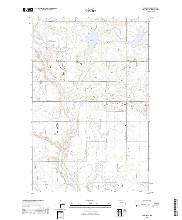
2024 Map of Harlow SE
USGS Topo · Published 2024About this map
Fish Lake and the winding course of the Big Coulee anchor this prairie landscape in rural Benson County. The terrain is defined by the extensive Benson County Waterfowl Production Area, which preserves several segments of wetlands and natural habitat across multiple townships. For those researching local heritage, the map identifies significant religious sites that have served the community for generations, specifically the Vasa Lutheran Cem in the northwest and the Immanuel Lutheran Church Cem further south. A network of section-line roads, including Toso Rd and various numbered streets like 45th St NE, connects the farmsteads and agricultural plots that comprise this traditional North Dakota township structure.
Find a feature on this map
24 named features on this map. Tap any name to fly to it.
Don’t see what you’re looking for? This feature index may not catch every label — zoom into the map to look around manually.
Map Details
Editions of this 2024 Harlow SE Map
This is the sole edition of this map. No revisions or reprints were ever made.
Other maps of this area

1932 · Flora
USGS Topo · 1:62,500

1943 · Maddock
USGS Topo · 1:62,500

1945 · Maddock
USGS Topo · 1:62,500

1951 · Flora
USGS Topo · 1:24,000

1951 · Maddock
USGS Topo · 1:24,000

1951 · Hesper
USGS Topo · 1:24,000

1951 · Flora
USGS Topo · 1:62,500

1952 · New Rockford
USGS Topo · 1:250,000

1953 · Devils Lake
USGS Topo · 1:250,000

1956 · New Rockford
USGS Topo · 1:250,000