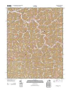
2013 Map of Harman
USGS Topo · Published 2013About this map
Harman and Big Rock anchor this 2013 study of the Levisa Fork region in Buchanan County, where the steep terrain of the Cumberland Plateau dictates a distinct pattern of linear settlement. Communities such as Weller, Artia, and Maxie are threaded tightly along narrow valley floors, following the winding courses of Bull Cr and its numerous tributaries. The landscape is deeply incised by family-named landmarks and gaps, including Hoot Owl Gap, Winding Gap, and Stewart Gap, which historically served as the primary conduits through the high ridges.
Find a feature on this map
109 named features on this map. Tap any name to fly to it.
Don’t see what you’re looking for? This feature index may not catch every label — zoom into the map to look around manually.
Map Details
Editions of this 2013 Harman Map
This is the sole edition of this map. No revisions or reprints were ever made.
Other maps of this area

1886 · Grundy
USGS Topo · 1:125,000

1890 · Grundy
USGS Topo · 1:125,000

1892 · Grundy
USGS Topo · 1:125,000

1913 · Clintwood
USGS Topo · 1:62,500

1914 · Bucu
USGS Topo · 1:48,000

1914 · Hurley
USGS Topo · 1:48,000

1915 · Clintwood
USGS Topo · 1:62,500

1915 · Regina
USGS Topo · 1:48,000

1915 · Hurley
USGS Topo · 1:48,000

1916 · Bucu
USGS Topo · 1:62,500