
1949 Map of Harmon Creek
USGS Topo · Published 1953About this map
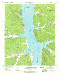
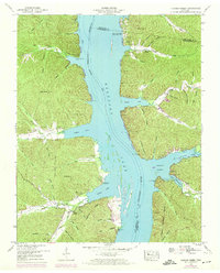
The Tennessee River Kentucky Lake dominates this 1949 landscape at the meeting point of Benton, Humphreys, and Houston counties. This survey reflects a significant era of transition for the region following the creation of the reservoir, highlighting the emergence of recreational and access points like the Harmon Creek Boat Dock and Whiteoak Creek Cabin Site Area. While the rising waters reshaped the valley, the surrounding ridges and hollows preserve a deep record of earlier settlement patterns through numerous family burial grounds and rural institutions.
Find a feature on this map
65 named features on this map. Tap any name to fly to it.
Don’t see what you’re looking for? This feature index may not catch every label — zoom into the map to look around manually.
Map Details
Editions of this 1949 Harmon Creek Map
3 editions found
Other maps of this area

1936 · Poplar Creek
USGS Topo · 1:24,000

1936 · McKinnon
USGS Topo · 1:24,000

1936 · Camden
USGS Topo · 1:24,000

1936 · Big Sandy
USGS Topo · 1:24,000

1936 · Stewart
USGS Topo · 1:24,000

1936 · Halls Creek
USGS Topo · 1:24,000

1936 · Johnsonville
USGS Topo · 1:24,000

1936 · Harmon Creek
USGS Topo · 1:24,000

1936 · Waverly
USGS Topo · 1:24,000
1949 · Poplar Creek
USGS Topo · 1:24,000