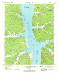
1949 Map of Harmon Creek
USGS Topo · Published 1969About this map
Kentucky Lake dominates the landscape of this 1949 survey, where the recently flooded valley of the Tennessee River reshaped the geography of Benton, Houston, and Humphreys counties. The map documents the early years of the reservoir's impact, showing transitional shoreline features like the White Oak Creek Cabin Site Area and Harmon Creek Boat Dock. Away from the water, the terrain is deeply etched by a network of drainage systems including Sulphur Creek, Turkey Creek, and Big Richland Creek.
Find a feature on this map
72 named features on this map. Tap any name to fly to it.
Don’t see what you’re looking for? This feature index may not catch every label — zoom into the map to look around manually.
Map Details
Editions of this 1949 Harmon Creek Map
3 editions found
Other maps of this area

1936 · Poplar Creek
USGS Topo · 1:24,000

1936 · McKinnon
USGS Topo · 1:24,000

1936 · Camden
USGS Topo · 1:24,000

1936 · Big Sandy
USGS Topo · 1:24,000

1936 · Stewart
USGS Topo · 1:24,000

1936 · Halls Creek
USGS Topo · 1:24,000

1936 · Johnsonville
USGS Topo · 1:24,000

1936 · Harmon Creek
USGS Topo · 1:24,000

1936 · Waverly
USGS Topo · 1:24,000

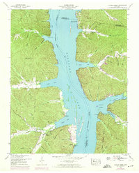
1949 · Harmon Creek
USGS Topo · 1:24,000