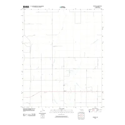
2010 Map of Harmon
USGS Topo · Published 2010About this map
Harmon serves as the primary focal point of this western Oklahoma landscape, situated at the intersection of a grid-based rural road network. The settlement is anchored by the Harmon Cemetery just to its north, a key site for genealogical research in this portion of Ellis County. The area's topography is defined by the dendritic drainage patterns of several seasonal watercourses, most notably Turkey Creek and North Persimmon Creek. These waterways, along with Boggy Creek and South Turkey Creek, illustrate how the natural hydrology intersects with the rigid section-line roads like E0570 Rd and N1930 Rd. The map reveals a sparsely populated agricultural environment where nearly all infrastructure follows the cardinal directions of the survey grid, punctuated only by the occasional wandering creek bed.
Find a feature on this map
23 named features on this map. Tap any name to fly to it.
Don’t see what you’re looking for? This feature index may not catch every label — zoom into the map to look around manually.
Map Details
Editions of this 2010 Harmon Map
This is the sole edition of this map. No revisions or reprints were ever made.
Other maps of this area

1955 · Woodward
USGS Topo · 1:250,000

1958 · Woodward
USGS Topo · 1:250,000

1969 · Fargo SW
USGS Topo · 1:24,000

1969 · Vici NW
USGS Topo · 1:24,000

1969 · Woodward SW
USGS Topo · 1:24,000

1969 · Fargo SE
USGS Topo · 1:24,000

1970 · Harmon
USGS Topo · 1:24,000

1970 · Harmon SW
USGS Topo · 1:24,000
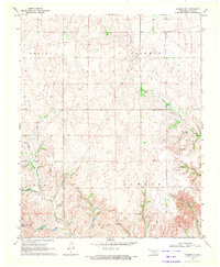
1970 · Harmon SE
USGS Topo · 1:24,000
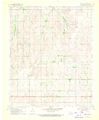
1970 · Harmon NW
USGS Topo · 1:24,000