
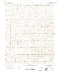
1970 Map of Harmon
USGS Topo · Published 1972About this map
The Old Indian Treaty Boundary bisects this rural landscape of the high plains, providing a historical dividing line between the early territorial townships of Austin, Irwin, Benton, and Parkman. The small community of Harmon serves as a local anchor, centered near the Harmon Cem and reflecting the settlement patterns of northwestern Oklahoma during the mid-twentieth century.
Find a feature on this map
18 named features on this map. Tap any name to fly to it.
Don’t see what you’re looking for? This feature index may not catch every label — zoom into the map to look around manually.
Map Details
Editions of this 1970 Harmon Map
2 editions found
Other maps of this area

1955 · Woodward
USGS Topo · 1:250,000

1958 · Woodward
USGS Topo · 1:250,000

1969 · Fargo SW
USGS Topo · 1:24,000

1969 · Vici NW
USGS Topo · 1:24,000

1969 · Woodward SW
USGS Topo · 1:24,000

1969 · Fargo SE
USGS Topo · 1:24,000

1970 · Harmon SW
USGS Topo · 1:24,000
1970 · Harmon SE
USGS Topo · 1:24,000
1970 · Harmon NW
USGS Topo · 1:24,000
1970 · Vici SW
USGS Topo · 1:24,000