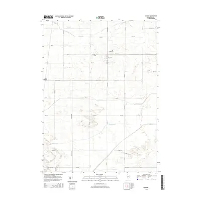
2015 Map of Harmon
USGS Topo · Published 2015About this map
Harmon serves as the central hub of this agricultural landscape in Lee County, where the geometric precision of the rural road grid meets an intricate network of water management features. The area's reliance on drainage is evident through prominent labels for the Main Ditch, Winnebago Ditch, and several natural watercourses like Coon Cr and the Green River that snake across the township. This 2015 update provides a modern record of the local infrastructure, documenting the layout of small settlements such as Van Petten and long-standing community landmarks. For those exploring local family history, the map precisely locates the Holy Cross Catholic Cem and Centenary Cem, preserving their positions within the larger grid of family-named thoroughfares like Ryan Rd and Hoyle Rd.
Find a feature on this map
37 named features on this map. Tap any name to fly to it.
Don’t see what you’re looking for? This feature index may not catch every label — zoom into the map to look around manually.
Map Details
Editions of this 2015 Harmon Map
This is the sole edition of this map. No revisions or reprints were ever made.
Other maps of this area

1918 · Dixon
USGS Topo · 1:62,500

1930 · Woodsung
USGS Topo · 1:48,000

1946 · Sterling
USGS Topo · 1:62,500

1948 · Sterling
USGS Topo · 1:62,500

1949 · Walnut
USGS Topo · 1:62,500

1950 · Dixon
USGS Topo · 1:62,500

1951 · Amboy
USGS Topo · 1:62,500

1958 · Aurora
USGS Topo · 1:250,000

1961 · Aurora
USGS Topo · 1:250,000

1982 · Harmon
USGS Topo · 1:24,000