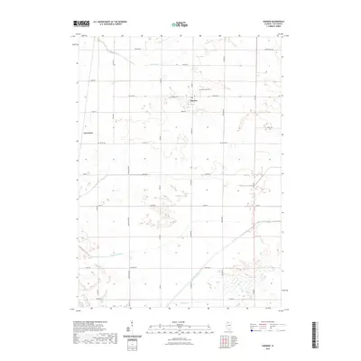
2021 Map of Harmon
USGS Topo · Published 2021About this map
Harmon serves as the central hub of this agricultural landscape in Lee County, where the transition from natural waterways to engineered drainage is clearly visible. The southern portion of the quadrangle is defined by the Green River and Walnut Cr, while the more developed northern sections rely on systems like the Winnebago Ditch and Main Ditch to manage the low-lying prairie terrain. These water management features are integral to the region's farming history and are interspersed with historical markers such as Greenwood Cem and Holy Cross Cem.
Find a feature on this map
39 named features on this map. Tap any name to fly to it.
Don’t see what you’re looking for? This feature index may not catch every label — zoom into the map to look around manually.
Map Details
Editions of this 2021 Harmon Map
This is the sole edition of this map. No revisions or reprints were ever made.
Other maps of this area

1918 · Dixon
USGS Topo · 1:62,500

1930 · Woodsung
USGS Topo · 1:48,000

1946 · Sterling
USGS Topo · 1:62,500

1948 · Sterling
USGS Topo · 1:62,500

1949 · Walnut
USGS Topo · 1:62,500

1950 · Dixon
USGS Topo · 1:62,500

1951 · Amboy
USGS Topo · 1:62,500

1958 · Aurora
USGS Topo · 1:250,000

1961 · Aurora
USGS Topo · 1:250,000

1982 · Harmon
USGS Topo · 1:24,000