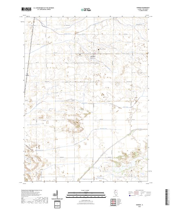
2024 Map of Harmon
USGS Topo · Published 2024About this map
Harmon serves as the central point of this agricultural landscape in southern Lee County, situated near the intersection of several local routes such as Co Hwy 15 and Sterling Rd. The village includes a Po and is flanked by local burial grounds, including Greenwood Cem and Holy Cross Cem. This modern survey reveals a highly managed hydrological system designed to support the region's farming heritage. The natural course of the Green River and Walnut Creek is supplemented by an extensive network of drainage infrastructure, most notably the Main Ditch and the Winnebago Ditch. These man-made channels crisscross the prairie, redirecting water from smaller tributaries like Coon Creek and Fivemile Branch. To the west, the settlement of Van Petten sits along the intersection of Van Petten Rd and Eakle Rd, marking the edge of a township defined by its grid of named country roads.
Find a feature on this map
39 named features on this map. Tap any name to fly to it.
Don’t see what you’re looking for? This feature index may not catch every label — zoom into the map to look around manually.
Map Details
Editions of this 2024 Harmon Map
This is the sole edition of this map. No revisions or reprints were ever made.
Other maps of this area

1918 · Dixon
USGS Topo · 1:62,500

1930 · Woodsung
USGS Topo · 1:48,000

1946 · Sterling
USGS Topo · 1:62,500

1948 · Sterling
USGS Topo · 1:62,500

1949 · Walnut
USGS Topo · 1:62,500

1950 · Dixon
USGS Topo · 1:62,500

1951 · Amboy
USGS Topo · 1:62,500

1958 · Aurora
USGS Topo · 1:250,000

1961 · Aurora
USGS Topo · 1:250,000

1982 · Harmon
USGS Topo · 1:24,000