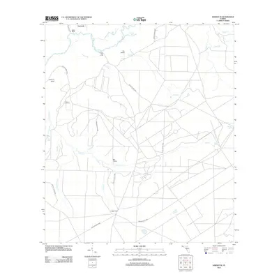
2012 Map of Harold SE
USGS Topo · Published 2012About this map
Yellow River meanders across the northern portion of this Santa Rosa County landscape, defining a network of wetlands and low-lying features like Whitmier Island and Flowers Field Landing. The presence of Flowers Field Cem near the riverbanks provides a specific point of interest for genealogists tracing family histories in this part of Florida. The terrain is shaped by numerous drainages, including Indigo Cr, Boiling Cr, and Holley Cr, which feed into larger basins and named hollows like Big Hollow and Dry Hollow.
Find a feature on this map
29 named features on this map. Tap any name to fly to it.
Don’t see what you’re looking for? This feature index may not catch every label — zoom into the map to look around manually.
Map Details
Editions of this 2012 Harold SE Map
This is the sole edition of this map. No revisions or reprints were ever made.
Other maps of this area

1921 · Holley
USGS Topo · 1:62,500

1934 · Holt
USGS Topo · 1:48,000

1934 · Harold
USGS Topo · 1:62,500

1936 · Holley
USGS Topo · 1:48,000

1937 · Holt
USGS Topo · 1:62,500

1937 · Harold
USGS Topo · 1:62,500

1938 · Mary Esther
USGS Topo · 1:62,500

1938 · Holley
USGS Topo · 1:62,500

1938 · Harold
USGS Topo · 1:62,500

1956 · Fort Walton Beach
USGS Topo · 1:62,500