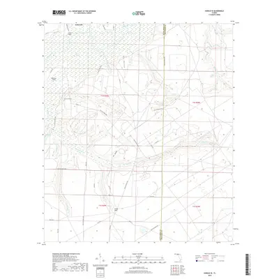
2018 Map of Harold SE
USGS Topo · Published 2018About this map
Parkerville and the expansive wetlands of the Yellow River bottomlands define this portion of the Florida Panhandle. Much of the territory falls within the boundaries of Eglin Air Force Base, where a network of specialized roads like Eglin 751 and Eglin 718 traverse the pine-dominated landscape. These routes provide access to remote areas such as Dry Hollow and Big Hollow, while the river corridor is punctuated by features like Miller Bluff and the isolated Whitmier Island. Genealogists and local historians can locate the Flowers Field Cem situated near the military reservation boundary. The hydrologic landscape is complex, with numerous small waterways including Tigertail Branch, Boiling Cr, and Holley Cr feeding into the main river system or ending in quiet basins like Atwell Pond and Metts Pond.
Find a feature on this map
48 named features on this map. Tap any name to fly to it.
Don’t see what you’re looking for? This feature index may not catch every label — zoom into the map to look around manually.
Map Details
Editions of this 2018 Harold SE Map
This is the sole edition of this map. No revisions or reprints were ever made.
Other maps of this area

1921 · Holley
USGS Topo · 1:62,500

1934 · Holt
USGS Topo · 1:48,000

1934 · Harold
USGS Topo · 1:62,500

1936 · Holley
USGS Topo · 1:48,000

1937 · Holt
USGS Topo · 1:62,500

1937 · Harold
USGS Topo · 1:62,500

1938 · Mary Esther
USGS Topo · 1:62,500

1938 · Holley
USGS Topo · 1:62,500

1938 · Harold
USGS Topo · 1:62,500

1956 · Fort Walton Beach
USGS Topo · 1:62,500