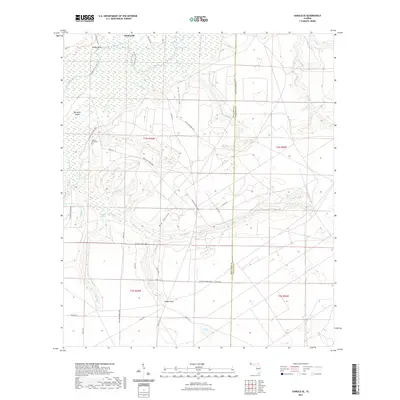
2021 Map of Harold SE
USGS Topo · Published 2021About this map
The Yellow River meanders across the northern portion of this landscape, carving a wide floodplain that includes Whitmier Island and the elevated Miller Bluff. This area, situated at the boundary of Santa Rosa and Okaloosa counties, is defined by the significant presence of Eglin Air Force Base lands, which encompass much of the southern and central terrain. The settlement of Parkerville sits near the northern margin, while the remote Indigo Head is located further south amid a dense network of military access roads and drainage systems.
Find a feature on this map
49 named features on this map. Tap any name to fly to it.
Don’t see what you’re looking for? This feature index may not catch every label — zoom into the map to look around manually.
Map Details
Editions of this 2021 Harold SE Map
This is the sole edition of this map. No revisions or reprints were ever made.
Other maps of this area

1921 · Holley
USGS Topo · 1:62,500

1934 · Holt
USGS Topo · 1:48,000

1934 · Harold
USGS Topo · 1:62,500

1936 · Holley
USGS Topo · 1:48,000

1937 · Holt
USGS Topo · 1:62,500

1937 · Harold
USGS Topo · 1:62,500

1938 · Mary Esther
USGS Topo · 1:62,500

1938 · Holley
USGS Topo · 1:62,500

1938 · Harold
USGS Topo · 1:62,500

1956 · Fort Walton Beach
USGS Topo · 1:62,500