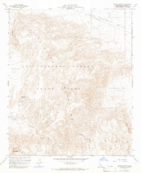
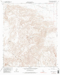
1959 Map of Harper Canyon
USGS Topo · Published 1966About this map
The Vallecito Mountains dominate this arid landscape, rising sharply above the desert floor within Anza-Borrego Desert State Park. Mapped during the late 1950s, the terrain reveals an intricate network of drainage systems including Fish Creek Wash, North Fork Fish Creek Wash, and the notably named Oyster Shell Wash in the southeast. These ephemeral watercourses define the movement through the high-relief topography, where trails and jeep tracks are often the only markers of human passage.
Find a feature on this map
21 named features on this map. Tap any name to fly to it.
Don’t see what you’re looking for? This feature index may not catch every label — zoom into the map to look around manually.
Map Details
Editions of this 1959 Harper Canyon Map
6 editions found
Other maps of this area

1931 · Vallecito
USGS Topo · 1:125,000

1931 · Carrizo
USGS Topo · 1:125,000

1939 · Borrego
USGS Topo · 1:62,500

1942 · Barrel Spring
USGS Topo · 1:62,500

1942 · Borego
USGS Topo · 1:62,500

1942 · Carrizo Mtn
USGS Topo · 1:62,500

1942 · Cuyapaipe
USGS Topo · 1:62,500

1943 · Vallecito
USGS Topo · 1:125,000

1947 · Santa Ana
USGS Topo · 1:250,000
1947 · Barrel Spring
USGS Topo · 1:62,500