
1893 Map of Harpers Ferry
USGS Topo · Published 1898About this map
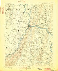
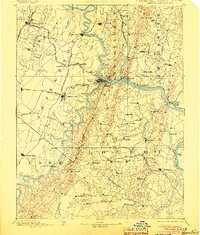
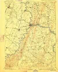
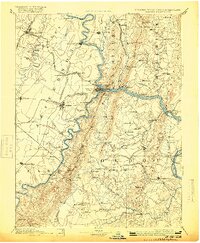
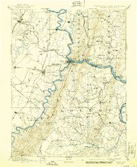
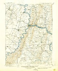
The confluence of the Potomac River and Shenandoah River serves as the focal point for this late nineteenth-century survey of the tri-state borderlands. At the center, Harpers Ferry sits flanked by Maryland Heights and Loudoun Heights, illustrating the strategic topography that defined the region’s military and industrial importance. The critical transportation corridor of the Chesapeake and Ohio Canal parallels the Potomac, while a dense network of iron rails including the Baltimore and Ohio Railroad and the Shenandoah Valley Railroad connect major hubs like Martinsburg and Charlestown.
Find a feature on this map
111 named features on this map. Tap any name to fly to it.
Don’t see what you’re looking for? This feature index may not catch every label — zoom into the map to look around manually.
Map Details
Editions of this 1893 Harpers Ferry Map
7 editions found
Other maps of this area

1884 · Harpers Ferry
USGS Topo · 1:125,000

1890 · Mt. Vernon
USGS Topo · 1:125,000

1891 · Harpers Ferry
USGS Topo · 1:125,000

1891 · Mt. Vernon
USGS Topo · 1:125,000

1893 · Frederick
USGS Topo · 1:125,000

1893 · Luray
USGS Topo · 1:125,000

1894 · Warrenton
USGS Topo · 1:125,000

1894 · Frederick
USGS Topo · 1:125,000

1894 · Winchester
USGS Topo · 1:125,000

1894 · Mt. Vernon
USGS Topo · 1:125,000