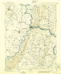
1893 Map of Harpers Ferry
USGS Topo · Published 1905About this map
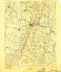
The confluence of the Potomac River and the Shenandoah River forms the dramatic focal point of this late 19th-century survey. At this strategic gap in the Blue Ridge, Harpers Ferry sits at the nexus of the Baltimore and Ohio Railroad and the vital Chesapeake and Ohio Canal. The map reveals a landscape defined by water-borne transport and early rail corridors, connecting prominent regional centers like Martinsburg and Berryville.
Find a feature on this map
118 named features on this map. Tap any name to fly to it.
Don’t see what you’re looking for? This feature index may not catch every label — zoom into the map to look around manually.
Map Details
Editions of this 1893 Harpers Ferry Map
7 editions found
Other maps of this area

1884 · Harpers Ferry
USGS Topo · 1:125,000

1890 · Mt. Vernon
USGS Topo · 1:125,000

1891 · Harpers Ferry
USGS Topo · 1:125,000

1891 · Mt. Vernon
USGS Topo · 1:125,000

1893 · Frederick
USGS Topo · 1:125,000

1893 · Luray
USGS Topo · 1:125,000

1893 · Harpers Ferry
USGS Topo · 1:125,000

1894 · Warrenton
USGS Topo · 1:125,000

1894 · Frederick
USGS Topo · 1:125,000

1894 · Winchester
USGS Topo · 1:125,000