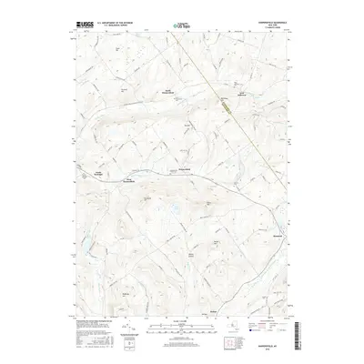
2016 Map of Harpersfield
USGS Topo · Published 2016About this map
Harpersfield and Stamford anchor this detailed landscape in the Catskill region, where the West Branch Delaware River begins its course. The map reveals a cluster of highland settlements and agricultural hamlets, including North Harpersfield, West Harpersfield, and North Kortright. For genealogists, the survey identifies several historic burying grounds such as North Harpersfield Cem, Stevens Cem, and the Harpersfield Center Cem.
Find a feature on this map
111 named features on this map. Tap any name to fly to it.
Don’t see what you’re looking for? This feature index may not catch every label — zoom into the map to look around manually.
Map Details
Editions of this 2016 Harpersfield Map
This is the sole edition of this map. No revisions or reprints were ever made.
Other maps of this area

1904 · Richmondville
USGS Topo · 1:62,500

1904 · Hobart
USGS Topo · 1:62,500

1907 · Cooperstown
USGS Topo · 1:62,500

1909 · Cooperstown
USGS Topo · 1:62,500

1909 · Delhi
USGS Topo · 1:62,500

1911 · Delhi
USGS Topo · 1:62,500

1943 · Bloomville
USGS Topo · 1:24,000

1943 · Charlotteville
USGS Topo · 1:24,000
1943 · Schenevus
USGS Topo · 1:24,000

1943 · Summit
USGS Topo · 1:24,000