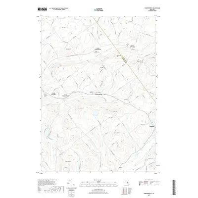
2019 Map of Harpersfield
USGS Topo · Published 2019About this map
Stamford and Hobart anchor the southern reaches of this landscape, where the West Branch Delaware River begins its course through the Catskill foothills. The map reveals a high-elevation terrain defined by numerous named summits such as Gunhouse Hill, Fan Hill, and Mt Bob, which separate the various brook valleys. This rural network is punctuated by small, historic hamlets like North Harpersfield and West Jefferson, each maintaining their own distinct community identity through local landmarks and burial grounds.
Find a feature on this map
109 named features on this map. Tap any name to fly to it.
Don’t see what you’re looking for? This feature index may not catch every label — zoom into the map to look around manually.
Map Details
Editions of this 2019 Harpersfield Map
This is the sole edition of this map. No revisions or reprints were ever made.
Other maps of this area

1904 · Richmondville
USGS Topo · 1:62,500

1904 · Hobart
USGS Topo · 1:62,500

1907 · Cooperstown
USGS Topo · 1:62,500

1909 · Cooperstown
USGS Topo · 1:62,500

1909 · Delhi
USGS Topo · 1:62,500

1911 · Delhi
USGS Topo · 1:62,500

1943 · Bloomville
USGS Topo · 1:24,000

1943 · Charlotteville
USGS Topo · 1:24,000
1943 · Schenevus
USGS Topo · 1:24,000

1943 · Summit
USGS Topo · 1:24,000