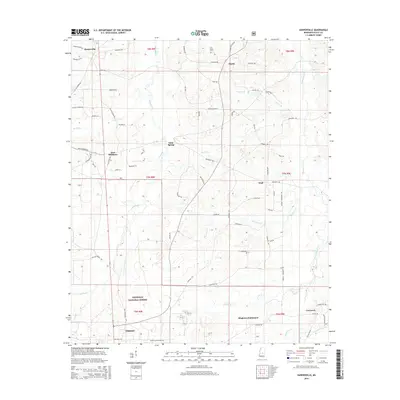
2015 Map of Harperville
USGS Topo · Published 2015About this map
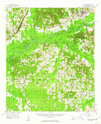
Harperville serves as the focal point for this rural Scott County landscape, which transitions from settled high ground into the protected timberlands of the Bienville National Forest. The map documents a complex network of named watercourses, including the winding path of the Tallabogue and the headwaters of the Little River, which shape the local topography.
Find a feature on this map
75 named features on this map. Tap any name to fly to it.
Don’t see what you’re looking for? This feature index may not catch every label — zoom into the map to look around manually.
Map Details
Editions of this 2015 Harperville Map
This is the sole edition of this map. No revisions or reprints were ever made.
Other maps of this area
1921 · Forest
USGS Topo · 1:48,000
1922 · Forest
USGS Topo · 1:62,500
1922 · Morton
USGS Topo · 1:48,000
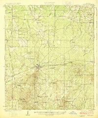
1924 · Morton
USGS Topo · 1:62,500
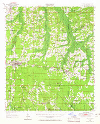
1950 · Forest
USGS Topo · 1:62,500
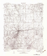
1951 · Morton
USGS Topo · 1:62,500
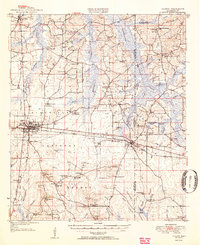
1952 · Forest
USGS Topo · 1:62,500

1953 · Meridian
USGS Topo · 1:250,000

1957 · Meridian
USGS Topo · 1:250,000
1961 · Carthage
USGS Topo · 1:62,500