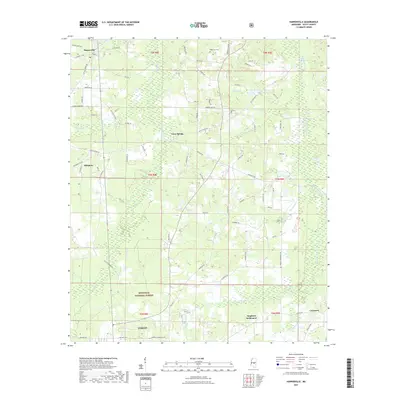
2021 Map of Harperville
USGS Topo · Published 2021About this map
The Bienville National Forest dominates the southern reaches of this landscape, where the town of Forest meets a network of rural settlements and winding waterways. The terrain is defined by a dense drainage system, including the prominent Hontokalo Creek in the east and the Tallabogue to the west, which create a complex environment of creeks and branches like Little Indian Br and Hurricane Cr. This 2021 survey illustrates the modern configuration of historic communities, showing the spatial relationship between the village of Harperville and outlying areas like Singleton Settlement and Usrytown.
Find a feature on this map
78 named features on this map. Tap any name to fly to it.
Don’t see what you’re looking for? This feature index may not catch every label — zoom into the map to look around manually.
Map Details
Editions of this 2021 Harperville Map
This is the sole edition of this map. No revisions or reprints were ever made.
Other maps of this area

1921 · Forest
USGS Topo · 1:48,000

1922 · Forest
USGS Topo · 1:62,500

1922 · Morton
USGS Topo · 1:48,000

1924 · Morton
USGS Topo · 1:62,500

1950 · Forest
USGS Topo · 1:62,500

1951 · Morton
USGS Topo · 1:62,500

1952 · Forest
USGS Topo · 1:62,500

1953 · Meridian
USGS Topo · 1:250,000

1957 · Meridian
USGS Topo · 1:250,000

1961 · Carthage
USGS Topo · 1:62,500