Loading...
Loading map...2024 Map of Harperville
USGS Topo · Published 2024About this map
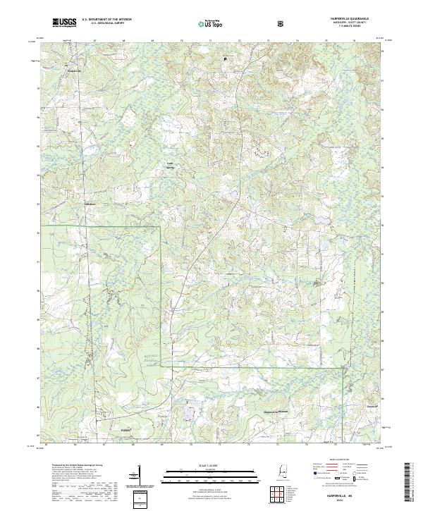
Harperville and the surrounding Scott County countryside are defined by a complex network of waterways and the reaching boundaries of the Bienville National Forest. The landscape is etched by drainage systems including Tallabogue Creek, Hurricane Creek, and Futchs Creek, which flow through a mix of wooded preserves and rural settlements. This modern survey captures the enduring layout of historic community centers like Hillsboro, Gum Spring, and Usrytown.
Find a feature on this map
84 named features on this map. Tap any name to fly to it.
Don’t see what you’re looking for? This feature index may not catch every label — zoom into the map to look around manually.
Map Details
Date Portrayed2024
Date Published2024
PublisherU.S. Geological Survey
Map TypeTopographic
Scale1:24000
Physical Dimensions24 x 29 inches
Editions of this 2024 Harperville Map
This is the sole edition of this map. No revisions or reprints were ever made.
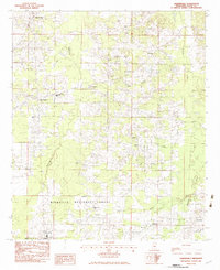
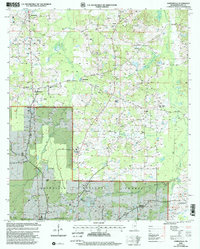
Historical Maps of East Hillsboro Through Time
3 maps found
Featured Locations
Source Details
SourceU.S. Geological Survey
CopyrightPublic Domain