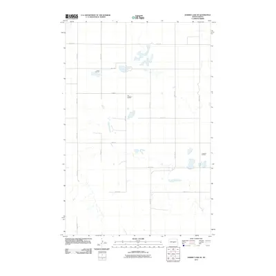
2011 Map of Harriet Lake SE
USGS Topo · Published 2011About this map
Small rural cemeteries and a network of section-line roads define this prairie landscape in Burleigh County. The presence of United Cemetery in the northwestern quadrant and the Zion Langedahl Cemetery further south reflects the dispersed settlement patterns of central North Dakota’s farming communities. These sites, along with Langedahl Cemetery on the eastern edge of the sheet, serve as primary genealogical landmarks in an otherwise open terrain of wetlands and seasonal sloughs. The transport infrastructure follows a rigid grid, anchored by routes like 22nd St SE and 19th Ave SE, which connect isolated homesteads and field access points. This 2011 survey records the enduring layout of the rural township system, where local family history is anchored to these small, scattered burial grounds.
Find a feature on this map
18 named features on this map. Tap any name to fly to it.
Don’t see what you’re looking for? This feature index may not catch every label — zoom into the map to look around manually.
Map Details
Editions of this 2011 Harriet Lake SE Map
This is the sole edition of this map. No revisions or reprints were ever made.
Other maps of this area

1951 · Driscoll
USGS Topo · 1:62,500

1952 · Steele NW
USGS Topo · 1:24,000

1952 · New Rockford
USGS Topo · 1:250,000

1953 · Jamestown
USGS Topo · 1:250,000

1954 · Bismarck
USGS Topo · 1:250,000

1954 · McClusky
USGS Topo · 1:250,000

1956 · New Rockford
USGS Topo · 1:250,000

1956 · Jamestown
USGS Topo · 1:250,000

1958 · Bismarck
USGS Topo · 1:250,000

1958 · McClusky
USGS Topo · 1:250,000