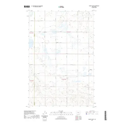
2020 Map of Harriet Lake SE
USGS Topo · Published 2020About this map
Small rural cemeteries like Skudesness Lutheran Cem and Evangelical Immanuel Cem are the primary cultural markers on this stretch of the High Plains near the Burleigh and Kidder County border. The landscape is defined by the Public Land Survey System, with roads such as 266th Ave Ne and 25th ST Se following the rigid section lines of Township 142 North and Township 141 North. This layout reflects the homesteading patterns of the late 19th and early 20th centuries, where Scandinavian and German Lutheran congregations established centers like Zion Langedahl Lutheran Cem and Chestina Cem to serve their far-flung farming communities. The abundance of unnamed wetlands and small basins scattered between these section roads reveals the post-glacial prairie pothole terrain characteristic of central North Dakota.
Find a feature on this map
21 named features on this map. Tap any name to fly to it.
Don’t see what you’re looking for? This feature index may not catch every label — zoom into the map to look around manually.
Map Details
Editions of this 2020 Harriet Lake SE Map
This is the sole edition of this map. No revisions or reprints were ever made.
Other maps of this area

1951 · Driscoll
USGS Topo · 1:62,500

1952 · Steele NW
USGS Topo · 1:24,000

1952 · New Rockford
USGS Topo · 1:250,000

1953 · Jamestown
USGS Topo · 1:250,000

1954 · Bismarck
USGS Topo · 1:250,000

1954 · McClusky
USGS Topo · 1:250,000

1956 · New Rockford
USGS Topo · 1:250,000

1956 · Jamestown
USGS Topo · 1:250,000

1958 · Bismarck
USGS Topo · 1:250,000

1958 · McClusky
USGS Topo · 1:250,000