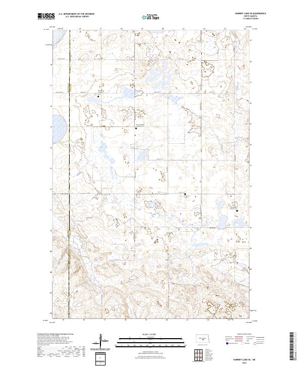
2024 Map of Harriet Lake SE
USGS Topo · Published 2024About this map
The Burleigh County Waterfowl Production Area dominates the western portion of this landscape, where the border between Burleigh and Kidder counties meets. This prairie region is characterized by numerous small wetlands and a grid of rural roads that connect isolated pioneer burial grounds. For genealogists, the map provides precise locations for the Evangelical Immanuel Cem, Zion Langedahl Lutheran Cem, Chestina Cem, and Skudesness Lutheran Cem. These sites, often associated with early Lutheran congregations, serve as the primary landmarks in an otherwise open terrain defined by section lines and local thoroughfares like 279th Ave NE and 21st St SE. The landscape remains largely agricultural and conservation-focused, preserving the spatial layout of early twentieth-century land divisions.
Find a feature on this map
32 named features on this map. Tap any name to fly to it.
Don’t see what you’re looking for? This feature index may not catch every label — zoom into the map to look around manually.
Map Details
Editions of this 2024 Harriet Lake SE Map
This is the sole edition of this map. No revisions or reprints were ever made.
Other maps of this area

1951 · Driscoll
USGS Topo · 1:62,500

1952 · Steele NW
USGS Topo · 1:24,000

1952 · New Rockford
USGS Topo · 1:250,000

1953 · Jamestown
USGS Topo · 1:250,000

1954 · Bismarck
USGS Topo · 1:250,000

1954 · McClusky
USGS Topo · 1:250,000

1956 · New Rockford
USGS Topo · 1:250,000

1956 · Jamestown
USGS Topo · 1:250,000

1958 · Bismarck
USGS Topo · 1:250,000

1958 · McClusky
USGS Topo · 1:250,000