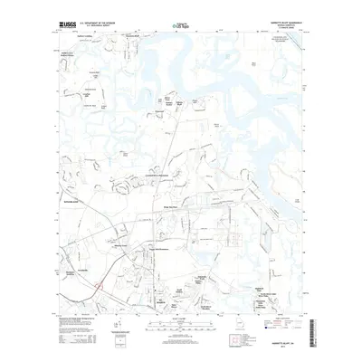
2014 Map of Harrietts Bluff
USGS Topo · Published 2014About this map
St. Marys and Kingsland anchor this coastal Georgia survey, revealing a landscape defined by tidal rivers and significant military infrastructure. The presence of the Kings Bay Base dominates the central geography, with residential developments like Sugar Mill Plantation and Mission Trace appearing alongside established areas such as Scotchville. The intricate waterway system is a central feature, where the Crooked River snakes past prominent bluffs including Elliotts Bluff and London Hill Bluff before reaching the Intracoastal Waterway.
Find a feature on this map
189 named features on this map. Tap any name to fly to it.
Don’t see what you’re looking for? This feature index may not catch every label — zoom into the map to look around manually.
Map Details
Editions of this 2014 Harrietts Bluff Map
This is the sole edition of this map. No revisions or reprints were ever made.
Other maps of this area

1918 · St Marys
USGS Topo · 1:62,500

1918 · Cumberland Island
USGS Topo · 1:62,500

1918 · Kingsland
USGS Topo · 1:62,500

1919 · Fernandina
USGS Topo · 1:62,500

1919 · St Marys
USGS Topo · 1:62,500

1930 · Cumberland Island
USGS Topo · 1:62,500

1944 · Fernandina
USGS Topo · 1:62,500

1945 · Cumberland Island
USGS Topo · 1:62,500

1948 · Jacksonville
USGS Topo · 1:250,000

1957 · Jacksonville
USGS Topo · 1:250,000