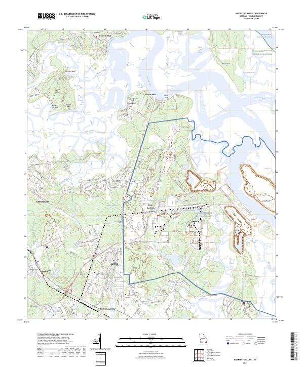
2024 Map of Harrietts Bluff
USGS Topo · Published 2024About this map
The massive installation of Naval Submarine Base Kings Bay dominates the coastal landscape of Camden County in this modern survey. Situated at the confluence of the Marianna Creek and the North River, the base infrastructure is depicted alongside the tidal marshes of Cannon Swamp. To the east, the protected wilderness of the Cumberland Island National Seashore is visible across the Cumberland River Intracoastal Waterway, marking the boundary between the deepwater channels and the Atlantic barrier islands.
Find a feature on this map
160 named features on this map. Tap any name to fly to it.
Don’t see what you’re looking for? This feature index may not catch every label — zoom into the map to look around manually.
Map Details
Editions of this 2024 Harrietts Bluff Map
This is the sole edition of this map. No revisions or reprints were ever made.
Other maps of this area

1918 · St Marys
USGS Topo · 1:62,500

1918 · Cumberland Island
USGS Topo · 1:62,500

1918 · Kingsland
USGS Topo · 1:62,500

1919 · Fernandina
USGS Topo · 1:62,500

1919 · St Marys
USGS Topo · 1:62,500

1930 · Cumberland Island
USGS Topo · 1:62,500

1944 · Fernandina
USGS Topo · 1:62,500

1945 · Cumberland Island
USGS Topo · 1:62,500

1948 · Jacksonville
USGS Topo · 1:250,000

1957 · Jacksonville
USGS Topo · 1:250,000