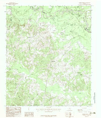
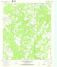
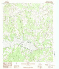
1983 Map of Harris Chapel
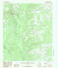
USGS Topo · Published 1983This historical map portrays the area of Harris Chapel in 1983, primarily covering Panola County as well as portions of Harrison County and Rusk County. Featuring a scale of 1:24000, this map provides a highly detailed snapshot of the terrain, roads, buildings, counties, and historical landmarks in the Harris Chapel region at the time. Published in 1983, it is the sole known edition of this map.
Find a feature on this map
31 named features on this map. Tap any name to fly to it.
Don’t see what you’re looking for? This feature index may not catch every label — zoom into the map to look around manually.
Map Details
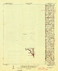
Editions of this 1983 Harris Chapel Map
This is the sole edition of this map. No revisions or reprints were ever made.
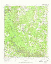
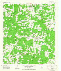
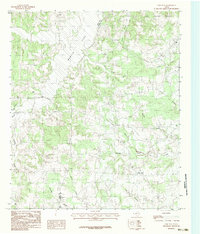
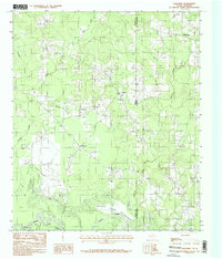
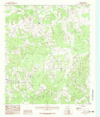
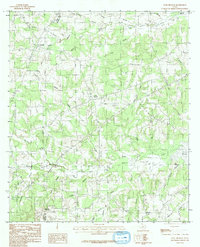
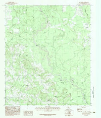
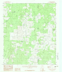
Historical Maps of Harris Chapel Through Time
14 maps found
1945 Socagee Bayou
Panola County, TX
1956 Deadwood
Panola County, TX
1962 De Berry
Panola County, TX
1962 Panola
Panola County, TX
1983 Fair Play
Panola County, TX
1983 Galloway
Panola County, TX
1983 Gary
Panola County, TX

1983 Grand Bluff
Panola County, TX
1983 Harris Chapel
Panola County, TX
1983 Lake Murvaul
Panola County, TX
1983 Long Branch
Panola County, TX
1983 Old Center
Panola County, TX
1983 Old Panola
Panola County, TX
1983 River Hill
Panola County, TX