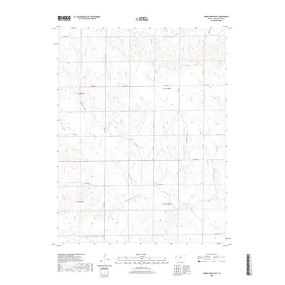
2018 Map of Harris Draw East
USGS Topo · Published 2018About this map
The N Fork Smoky Hill River carves through the northern reaches of this Wallace County landscape, defining a high plains topography shaped by seasonal watercourses. The drainage patterns across this territory are dominated by several named draws, reflecting the intermittent nature of water in western Kansas. Landmarks such as Depperschmidt Draw, Gardner Draw, and Hudkins Draw slice through the sections, while Lake Cr winds across the center. The region is gridded by a network of rural routes including Blue Bird Rd and the aptly named Zigzag Rd, alongside modern infrastructure like Xpressway Rd. This area, divided by the township lines of t11s r38w and t12s r38w, maintains its character as a rural expanse defined by these subtle but significant geographic depressions and water-carved features.
Find a feature on this map
24 named features on this map. Tap any name to fly to it.
Don’t see what you’re looking for? This feature index may not catch every label — zoom into the map to look around manually.
Map Details
Editions of this 2018 Harris Draw East Map
This is the sole edition of this map. No revisions or reprints were ever made.
Other maps of this area

1954 · Goodland
USGS Topo · 1:250,000

1955 · Scott City
USGS Topo · 1:250,000

1956 · Goodland
USGS Topo · 1:250,000

1957 · Goodland
USGS Topo · 1:250,000

1958 · Scott City
USGS Topo · 1:250,000

1959 · Wallace
USGS Topo · 1:62,500

1959 · Harris Draw
USGS Topo · 1:62,500

1969 · Mc Allaster NW
USGS Topo · 1:24,000

1969 · Russell Springs 2 NW
USGS Topo · 1:24,000
1969 · Mc Allaster
USGS Topo · 1:24,000