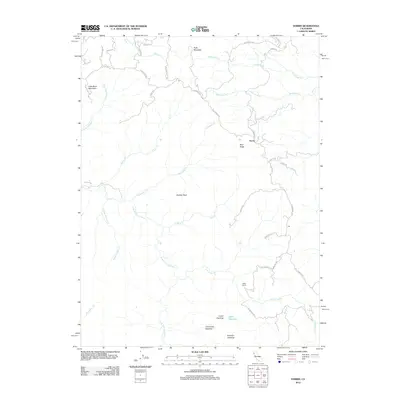
2012 Map of Harris
USGS Topo · Published 2012About this map
Harris serves as the primary node of activity in this northern California landscape, situated along the high ground of Mail Ridge. The area is defined by the complex drainage systems of the E Br S Fork Eel River and its numerous tributaries, including Rancheria Cr, Horse Pasture Cr, and Tom Long Cr. A network of winding mountain roads like Alderpoint Rd and Bell Springs Rd connect isolated clearings and homesteads.
Find a feature on this map
41 named features on this map. Tap any name to fly to it.
Don’t see what you’re looking for? This feature index may not catch every label — zoom into the map to look around manually.
Map Details
Editions of this 2012 Harris Map
This is the sole edition of this map. No revisions or reprints were ever made.
Other maps of this area

1920 · Cummings
USGS Topo · 1:62,500

1920 · Harris
USGS Topo · 1:62,500

1921 · Briceland
USGS Topo · 1:62,500

1949 · Alderpoint
USGS Topo · 1:62,500

1949 · Garberville
USGS Topo · 1:62,500

1950 · Piercy
USGS Topo · 1:62,500

1951 · Alderpoint
USGS Topo · 1:62,500

1951 · Garberville
USGS Topo · 1:62,500

1952 · Leggett
USGS Topo · 1:62,500

1957 · Ukiah
USGS Topo · 1:250,000