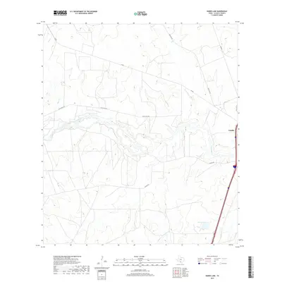
2019 Map of Harris Lake
USGS Topo · Published 2019About this map
Cotulla anchors the eastern edge of this South Texas landscape, situated along the corridor that bridges the ranchlands of La Salle County. The Nueces River winds through the center of the terrain, its riparian course creating a distinct hydrological pattern against the surrounding brush country. This survey illustrates the modern connectivity of the region, where historical transit routes like Valley Wells Rd and Cochina Rd intersect with the drainage basins of Sage Cr and Espio Cr. To the south, Edwards Lake serves as a significant water feature in an otherwise arid expanse. The map detail reflects a landscape defined by large-scale land divisions and ranching infrastructure, typical of the Brush Country's 21st-century configuration.
Find a feature on this map
12 named features on this map. Tap any name to fly to it.
Don’t see what you’re looking for? This feature index may not catch every label — zoom into the map to look around manually.
Map Details
Editions of this 2019 Harris Lake Map
This is the sole edition of this map. No revisions or reprints were ever made.
Other maps of this area

1927 · Bart
USGS Topo · 1:62,500

1929 · Cotulla
USGS Topo · 1:125,000

1940 · Cotulla
USGS Topo · 1:62,500

1940 · Artesia Wells
USGS Topo · 1:62,500

1942 · Dilley
USGS Topo · 1:62,500

1953 · Crystal City
USGS Topo · 1:250,000

1955 · Crystal City
USGS Topo · 1:250,000

1956 · Woodward
USGS Topo · 1:62,500

1961 · Crystal City
USGS Topo · 1:250,000

1968 · Crystal City
USGS Topo · 1:250,000