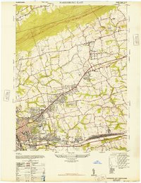
1947 Map of Harrisburg East
USGS Topo · Published 1947About this map
Blue Mountain dominates the northern skyline of this post-war survey, where the developing suburbs of Harrisburg push eastward into the rolling landscape of the Lebanon Valley. The map documents a transition in infrastructure, featuring the Reading railroad network alongside the Lebanon Valley Br. Significant institutional footprints appear throughout the area, including the sprawling State Hospital For Insane and the Dauphin County Home.
Find a feature on this map
48 named features on this map. Tap any name to fly to it.
Don’t see what you’re looking for? This feature index may not catch every label — zoom into the map to look around manually.
Map Details
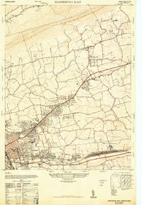
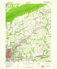
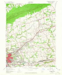
Editions of this 1947 Harrisburg East Map
4 editions found
Other maps of this area

1892 · Hummelstown
USGS Topo · 1:62,500

1892 · Harrisburg
USGS Topo · 1:62,500

1899 · Harrisburg
USGS Topo · 1:62,500

1906 · New Cumberland
USGS Topo · 1:62,500

1908 · Middletown
USGS Topo · 1:62,500

1924 · Hummelstown
USGS Topo · 1:62,500

1924 · Harrisburg
USGS Topo · 1:62,500

1943 · New Cumberland
USGS Topo · 1:62,500

1943 · Middletown
USGS Topo · 1:62,500

1943 · Harrisburg
USGS Topo · 1:62,500
Featured Places
- Harrisburg, PA
- Colonial Park, Lower Paxton Township
- Progress, Susquehanna Township
- Linglestown, Lower Paxton Township
- Rutherford, Swatara Township