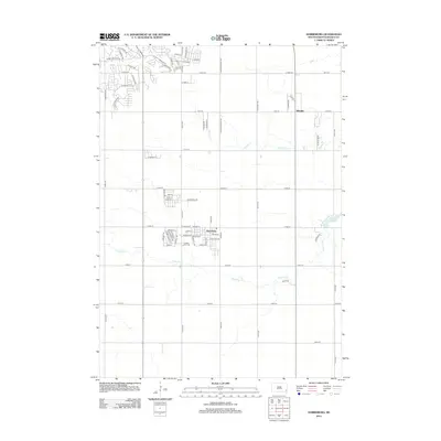
2012 Map of Harrisburg
USGS Topo · Published 2012About this map
Harrisburg serves as a central hub on this South Dakota prairie landscape, showing a dense grid of residential expansion and school sites south of the Sioux Falls metro area. The map illustrates a period of significant suburban growth, particularly evident in the transition from large agricultural sections to the intricate street networks of neighborhoods like those found near S Cliff Ave and E 69th St. In the southern portion of the town, the Pleasant View Cem provides a point of genealogical interest. Beyond the growing town limits, the terrain is defined by the winding paths of Ninemile Cr and Spring Cr, leading toward the waters of Lake Alvin in the east. This survey captures the rural-to-suburban shift of Shindler and its surroundings before the further intensification of the 21st century.
Find a feature on this map
74 named features on this map. Tap any name to fly to it.
Don’t see what you’re looking for? This feature index may not catch every label — zoom into the map to look around manually.
Map Details
Editions of this 2012 Harrisburg Map
This is the sole edition of this map. No revisions or reprints were ever made.
Other maps of this area

1897 · Canton
USGS Topo · 1:125,000

1900 · Canton
USGS Topo · 1:125,000

1955 · Sioux Falls
USGS Topo · 1:250,000

1958 · Sioux Falls
USGS Topo · 1:250,000

1962 · Klondike
USGS Topo · 1:24,000

1962 · Harrisburg
USGS Topo · 1:24,000

1962 · Canton
USGS Topo · 1:24,000

1962 · Brandon
USGS Topo · 1:24,000

1962 · Sioux Falls East
USGS Topo · 1:24,000

1962 · Tea
USGS Topo · 1:24,000