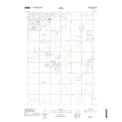
2017 Map of Harrisburg
USGS Topo · Published 2017About this map
The expanding southern outskirts of Sioux Falls dominate the northern portion of this South Dakota landscape, where suburban residential streets such as W Ralph Rogers Rd and W Jolyn Dr meet the agricultural terrain of the Coteau des Prairies. The town of Harrisburg serves as a primary hub to the south, showing a structured grid of local streets including E Maple St and Industrial Rd. Genealogists may find interest in the Pleasant View Cem located just west of the Harrisburg center. The natural hydrology of the region is defined by the winding paths of Ninemile Cr and Spring Cr, which snake through the sections toward the eastern boundary near Lake Alvin and the settlement of Shindler. This record captures the transition from traditional section-line farming to modern residential development along the Lincoln County line.
Find a feature on this map
48 named features on this map. Tap any name to fly to it.
Don’t see what you’re looking for? This feature index may not catch every label — zoom into the map to look around manually.
Map Details
Editions of this 2017 Harrisburg Map
This is the sole edition of this map. No revisions or reprints were ever made.
Other maps of this area

1897 · Canton
USGS Topo · 1:125,000

1900 · Canton
USGS Topo · 1:125,000

1955 · Sioux Falls
USGS Topo · 1:250,000

1958 · Sioux Falls
USGS Topo · 1:250,000

1962 · Klondike
USGS Topo · 1:24,000

1962 · Harrisburg
USGS Topo · 1:24,000

1962 · Canton
USGS Topo · 1:24,000

1962 · Brandon
USGS Topo · 1:24,000

1962 · Sioux Falls East
USGS Topo · 1:24,000

1962 · Tea
USGS Topo · 1:24,000