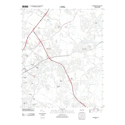
2010 Map of Harrisburg
USGS Topo · Published 2010About this map
Charlotte Motor Speedway and the adjacent World 600 Airport anchor the northeastern landscape of this region, reflecting the area's deep ties to racing culture and aviation. The University of North Carolina - Charlotte campus, marked by the distinctive Belk Tower, dominates the western edge, illustrating the suburban expansion of the early 21st century. The map traces the winding course of the Rocky River and Mallard Creek as they weave through residential developments like Rolling Acres and Newell.
Find a feature on this map
75 named features on this map. Tap any name to fly to it.
Don’t see what you’re looking for? This feature index may not catch every label — zoom into the map to look around manually.
Map Details
Editions of this 2010 Harrisburg Map
This is the sole edition of this map. No revisions or reprints were ever made.
Other maps of this area

1905 · Charlotte
USGS Topo · 1:48,000

1907 · Charlotte
USGS Topo · 1:62,500

1941 · Charlotte
USGS Topo · 1:125,000

1942 · Charlotte
USGS Topo · 1:125,000

1948 · Derita
USGS Topo · 1:24,000

1948 · Charlotte East
USGS Topo · 1:24,000

1949 · Kannapolis
USGS Topo · 1:24,000

1949 · Charlotte East
USGS Topo · 1:24,000

1949 · Harrisburg
USGS Topo · 1:24,000

1949 · Wilgrove
USGS Topo · 1:24,000