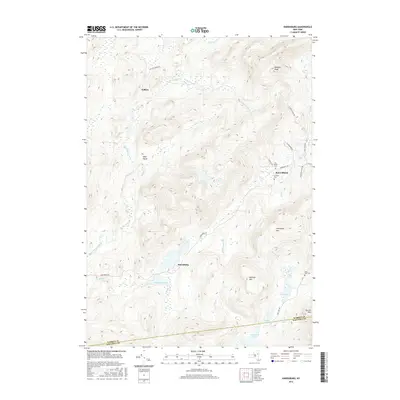
2016 Map of Harrisburg
USGS Topo · Published 2016About this map
Harrisburg Lake and the surrounding Adirondack highlands define this section of the upper Hudson River watershed. The settlement of Harrisburg sits near the lake's northern shore, while other small community centers like Knowelhurst and Fullers are connected by a network of rural routes including Harrisburg Rd and W Stony Creek Rd. The landscape is dominated by significant elevations such as Bearpen Peak and Thompson Mtn, with drainage provided by the winding East Stony Creek and Halfway Brook.
Find a feature on this map
37 named features on this map. Tap any name to fly to it.
Don’t see what you’re looking for? This feature index may not catch every label — zoom into the map to look around manually.
Map Details
Editions of this 2016 Harrisburg Map
This is the sole edition of this map. No revisions or reprints were ever made.
Other maps of this area

1895 · North Creek
USGS Topo · 1:62,500

1897 · North Creek
USGS Topo · 1:62,500

1898 · Thirteenth Lake
USGS Topo · 1:62,500

1903 · Luzerne
USGS Topo · 1:62,500

1910 · Stony Creek
USGS Topo · 1:62,500

1950 · Glens Falls
USGS Topo · 1:250,000

1950 · Utica
USGS Topo · 1:250,000

1954 · Thirteenth Lake
USGS Topo · 1:62,500

1954 · Harrisburg
USGS Topo · 1:62,500
1955 · Lake Luzerne
USGS Topo · 1:62,500