2023 Map of Harrison
USGS Topo · Published 2023About this map
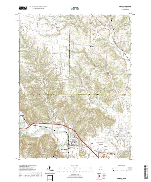
The Harrison and West Harrison community anchors this landscape where the Whitewater River cross-cuts the state line. The river valley and the Dry Fork Whitewater River to the east define the settlement patterns, with development clustered along major transit corridors like the Cincinnati Brookville Rd. Local history is preserved in a dense network of burial grounds, including the Catholic Cem, Glen Haven Cem, and Woodlawn Cem, which serve the populations of these border towns.
Find a feature on this map
166 named features on this map. Tap any name to fly to it.
Don’t see what you’re looking for? This feature index may not catch every label — zoom into the map to look around manually.
Map Details
Editions of this 2023 Harrison Map
This is the sole edition of this map. No revisions or reprints were ever made.
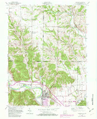
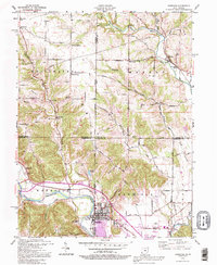
Historical Maps of Crosby Township Through Time
5 maps found


Featured Locations
- Rockdale, IN
- Sharptown, IN
- Macedonia, Morgan Township
- Harrison, Harrison Township
- West Harrison, Harrison Township