
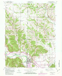
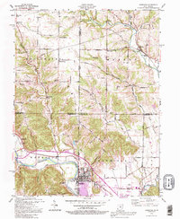
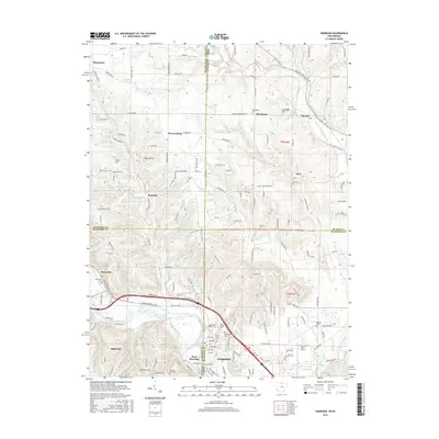
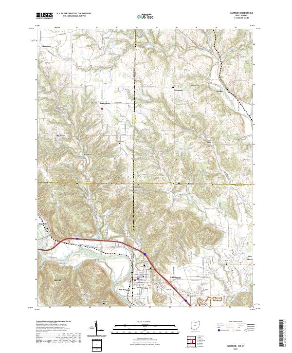
1996 Map of Harrison
USGS Topo · Published 1999About this map
The Whitewater River carves through this borderland landscape where Ohio and Indiana meet, anchoring the twin settlements of Harrison and West Harrison. This late-twentieth-century update of a mid-century survey reveals a transition from the structured street grids of the riverside towns to the winding rural roads of Morgan and Whitewater townships. The map documents numerous family and local landmarks, including the Snow Cem near Snow Hill and the Otwell Cem, providing essential details for genealogical research. Cultural features like the Covered Bridge on Johnson Fork and the Drewersburg Ch sit alongside modern developments such as the Harrison Airport and the expansive Miami Whitewater Forest County Park. Small crossroads communities like Okeana, Alert, and Macedonia punctuate the northern uplands, connected by historic routes like New London Road and Okeana Drewersburg Road.
Find a feature on this map
58 named features on this map. Tap any name to fly to it.
Don’t see what you’re looking for? This feature index may not catch every label — zoom into the map to look around manually.
Map Details
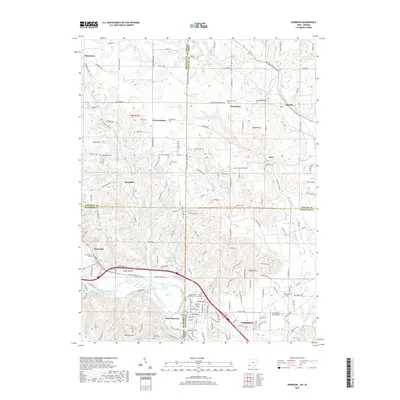
Editions of this 1996 Harrison Map
This is the sole edition of this map. No revisions or reprints were ever made.
Historical Maps of Harrison Through Time
9 maps found

Featured Locations
- Drewersburg, IN
- Harrison Township, IN
- Macedonia, Morgan Township
- Harrison, Harrison Township
- West Harrison, Harrison Township