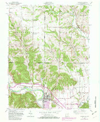
1955 Map of Harrison
USGS Topo · Published 1982About this map
The Whitewater River and its tributary, the Dry Fork Whitewater River, define the valley landscape along the state line where Indiana and Ohio meet. The crossing of these watercourses shaped the twin settlements of Harrison and West Harrison, where road networks and early industrial activity like the Gravel Pit appear alongside the interstate corridor. Revisions from the late 1970s, shown in purple, document the expansion of the town and the development of the Harrison Airport and nearby recreational spaces including Souders Lake.
Find a feature on this map
51 named features on this map. Tap any name to fly to it.
Don’t see what you’re looking for? This feature index may not catch every label — zoom into the map to look around manually.
Map Details
Editions of this 1955 Harrison Map
5 editions found

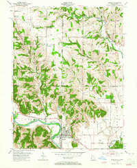
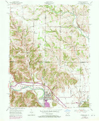
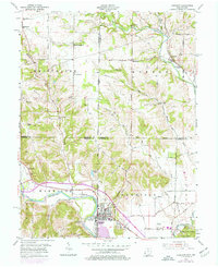
Other maps of this area

1914 · West Cincinnati
USGS Topo · 1:62,500

1915 · Lawrenceburg
USGS Topo · 1:48,000

1915 · Harrison
USGS Topo · 1:48,000

1915 · Hamilton
USGS Topo · 1:62,500

1917 · Hamilton
USGS Topo · 1:62,500

1928 · Lawrenceburg
USGS Topo · 1:62,500

1932 · Lawrenceburg
USGS Topo · 1:62,500

1943 · Hooven
USGS Topo · 1:24,000

1943 · Guilford
USGS Topo · 1:24,000

1953 · Guilford
USGS Topo · 1:24,000