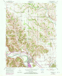
1955 Map of Harrison
USGS Topo · Published 1971About this map
The Whitewater River and its multiple forks define the borderlands of Ohio and Indiana, carving a complex landscape where Hamilton and Butler counties meet Dearborn and Franklin. The town of Harrison serves as a central hub, split by the state line from West Harrison, with the Penn Central railroad following the river valley. The 1970 revisions shown in purple highlight the post-war expansion of residential areas around the traditional core and near Harrison Airport. Outside the urban center, the map reveals a rural network of small communities like Okeana, Drewersburg, and Alert. Notable local landmarks for genealogists include the Drewersburg Ch and several burial grounds such as Ottwell Cem and Fairview Cem. The terrain transitions from the river bottoms to elevated points like Snow Hill and Liebrook Hill, with the burgeoning Miami Whitewater Forest preserved to the southeast.
Find a feature on this map
64 named features on this map. Tap any name to fly to it.
Don’t see what you’re looking for? This feature index may not catch every label — zoom into the map to look around manually.
Map Details
Editions of this 1955 Harrison Map
5 editions found

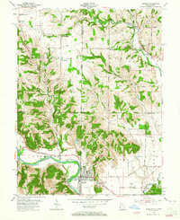
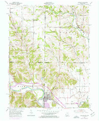
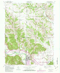
Other maps of this area

1914 · West Cincinnati
USGS Topo · 1:62,500

1915 · Lawrenceburg
USGS Topo · 1:48,000

1915 · Harrison
USGS Topo · 1:48,000

1915 · Hamilton
USGS Topo · 1:62,500

1917 · Hamilton
USGS Topo · 1:62,500

1928 · Lawrenceburg
USGS Topo · 1:62,500

1932 · Lawrenceburg
USGS Topo · 1:62,500

1943 · Hooven
USGS Topo · 1:24,000

1943 · Guilford
USGS Topo · 1:24,000

1953 · Guilford
USGS Topo · 1:24,000