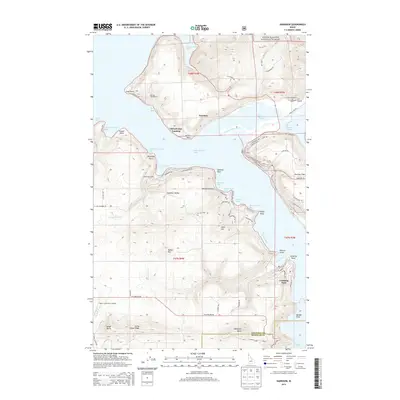
2014 Map of Harrison
USGS Topo · Published 2014About this map
Harrison serves as the gateway to the vast waters of Coeur d'Alene Lake, situated at the confluence of the Coeur d'Alene River. The shoreline here is defined by numerous sheltered inlets, including Powderhorn Bay, Bell Bay, and Cave Bay, which have historically shaped the recreational and timber-related activities of the region. The map reveals a landscape where public forest lands and established campgrounds like Bell Bay Campground meet small lakeside communities and landings.
Find a feature on this map
91 named features on this map. Tap any name to fly to it.
Don’t see what you’re looking for? This feature index may not catch every label — zoom into the map to look around manually.
Map Details
Editions of this 2014 Harrison Map
This is the sole edition of this map. No revisions or reprints were ever made.
Other maps of this area

1903 · Rathdrum
USGS Topo · 1:125,000

1955 · Spokane
USGS Topo · 1:250,000

1957 · St. Maries
USGS Topo · 1:62,500

1957 · Plummer
USGS Topo · 1:62,500

1957 · Coeur D'Alene
USGS Topo · 1:62,500

1957 · Lane
USGS Topo · 1:62,500

1958 · Spokane
USGS Topo · 1:250,000

1975 · Plummer NW
USGS Topo · 1:24,000

1975 · Plummer SE
USGS Topo · 1:24,000

1975 · Coeur D'Alene SE
USGS Topo · 1:24,000